To create simple map start with signing in. Press sign in located in the header.
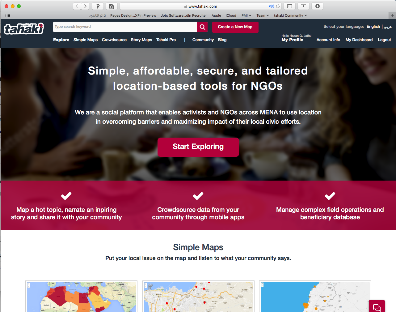
Tahaki Homepage
Use your Tahaki credentials or sign in using your Facebook, Twitter or Gmail.
Click on Create A New Map from the header to start the Map Creation Wizard.

Start by selecting the data source of your map. There a different datasources for maps:
- Empty Map: to create an empty map and start drawing locations on the map.
- From Excel: to create a map by importing an Excel file that contains the name of administrative regions of the MENA countries.
- From GPS X,Y Locations: to create a map by importing an excel file that contains the X,Y coordinates of the locations on the map.
- From ESRI Shapefile: to create a map by importing an ESRI shapefile.
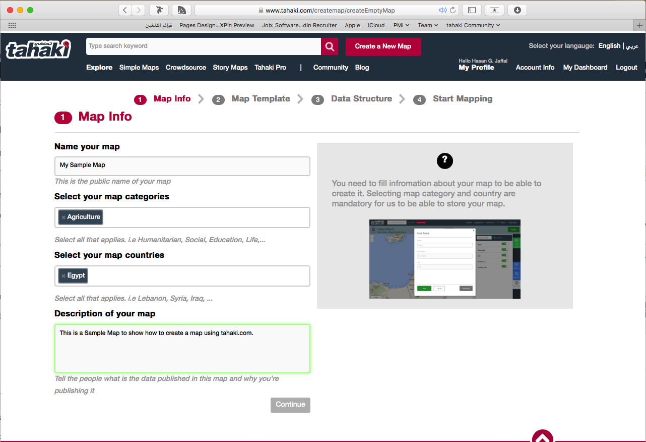
After selecting the datasource of the map, you have to fill in the map info.
Map Info are the basic information needed for a map to be created. You have to fill in the following information:
- Name of the map
- Map Categories: One or more topics for the map. You have to select from the predefined list.
- Map Counties: One or more countries of the map. You have to select from the predefined list of countries.
- Description of the map: a descriptive text of the map to tell other tahaki users about your map.
Select your map template:

Set Your Data Structure:

Start Mapping:
![]()